





West Kill Mountain
At a Glance
- Elevation: 3,898 ft
- Trail: Devil's Path, from the end of Spruceton Road
- Fee: none, state Forest Preserve land
- Cell service: unreliable to none
What You're Actually Going to See
The hike starts on the same trail as Diamond Notch Falls, a stretch along the West Kill creek to a two-part waterfall a little under a mile in. If you've been to the falls, you've already done the first part of this hike.

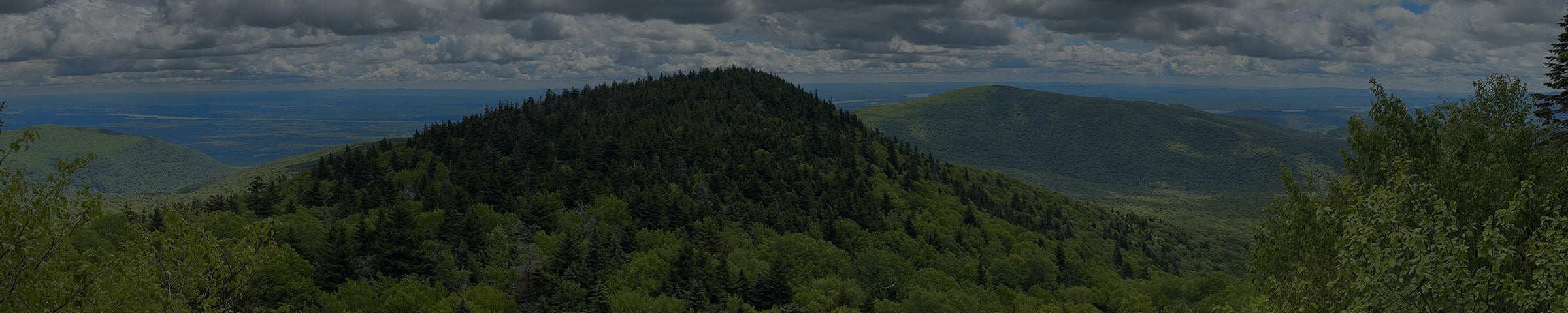
Past the falls, the red-blazed Devil's Path turns uphill for real. About three quarters of a mile up, you pass a big rock overhang that could shelter you from a passing storm. Higher up, the trail reaches Buck Ridge Lookout. The views there open to the north, east and south, close to 270 degrees in all. The true summit is just past the lookout.

Ways to Get There
Diamond Notch trailhead, end of Spruceton Road
About 6.4 mi round trip · 1,800–1,950 ft gain · strenuous
About 25–30 minutes / 21 miles from the shop. Take Route 23A west through Hunter and Lexington, turn south onto Route 42, then turn left onto Spruceton Road in the hamlet of West Kill and follow it to the end. Take the blue-blazed Diamond Notch Trail to the falls, cross the bridge, and pick up the Devil's Path to the summit.
Get Directions → · View on AllTrails →
What to Expect
The walk to the falls is gentle, but it's rocky and can be slick near the water. Past the falls, most of the climbing comes in one steep push up to the ridge. The lookout is worth it even if you skip the true summit, which is wooded.
From the shop


When to Go
Best May through October. The steep section above the falls can stay icy into spring. Bugs are thick along the creek in early summer.
Good to Know
- No day-use fee. This is state Forest Preserve land.
- Cell service is unreliable to nonexistent. Download your map before you go.
- The trailhead lots are small and fill up on busy days, since the falls are popular. Go early if you can.
- The top of West Kill is above 3,500 feet. State rules ban camping up there from March 21 to December 21, and only emergency fires are allowed at any time of year.
- This is black bear country. Don't leave food or a pack unattended.
- Apps like AllTrails are a fine starting point, but the track isn't always exact. We carry the NY-NJ Trail Conference Catskill Trails Map · $17.95, the more precise reference for the whole ridge. Stop in and we'll help you find your route on it.

While you're out here
West Kill Brewing is on Spruceton Road, on your way in or out, and a good stop after the hike.
The six Devil's Path peaks, east to west: Indian Head, Twin, Sugarloaf, Plateau, Hunter, West Kill.
If you want to know what else is worth seeing while you're up here, or want to talk through what to bring before you go, stop into the shop. We're a few miles down the road in Tannersville.