




Sugarloaf Mountain
At a Glance
- Elevation: 3,783 ft
- Trail: Devil's Path, from the Roaring Kill trailhead
- Fee: none, state Forest Preserve land
- Cell service: unreliable to none
What You're Actually Going to See
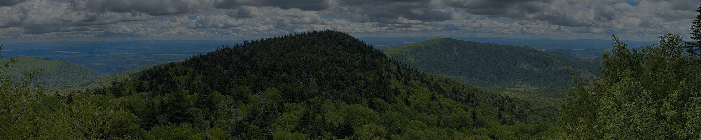
Sugarloaf sits between Pecoy Notch on the Twin side and Mink Hollow Notch on the Plateau side. Most people start at the Roaring Kill parking area and climb the Pecoy Notch Trail.
For a lot of people, the best part isn't the summit. It's Dibble's Quarry, about a mile in with only about 300 feet of climbing. Workers cut bluestone here in the 1800s, and the leftover slabs are everywhere. At some point, somebody stacked them into huge stone chairs and walls. Nobody seems to know who, or when. Sit in one and you're looking out at Kaaterskill High Peak, Roundtop and part of the Hudson Valley. For the effort, it's hard to beat.

Past the quarry, the trail gets steep and rocky as it climbs through Pecoy Notch and onto the summit ridge. Near the top you're walking through spruce and fir.

Ways to Get There
Roaring Kill parking area, off Dale Lane
About 6 mi round trip to the summit · about 2,000 ft gain · moderate to strenuous
About 10 minutes / 5 miles from the shop. Take Platte Clove Road, turn onto Dale Lane, and stay on it as it turns into Roaring Kill Road, which is gravel. The trail climbs to the Pecoy Notch Trail and passes Dibble's Quarry. Turn around there for a shorter hike, or keep going to the summit.
To make it a loop, keep going west over the summit on the Devil's Path and drop down to Mink Hollow Notch. Then take the Mink Hollow Trail and the Roaring Kill Trail back to the same lot. That's about 6.2 miles total.
Get Directions → · View on AllTrails →
What to Expect
The summit climb is steep in places, with rocky, rooty footing that's harder on the way down. You won't need your hands the way you do on Indian Head. The hike to the quarry is much gentler, but it's still rocky, so wear real shoes. Most families do fine on it.

From the shop


When to Go
Best May through October. The steep parts of the Pecoy Notch Trail stay muddy after rain.

Good to Know
- No day-use fee. This is state Forest Preserve land.
- Cell service is unreliable to nonexistent. Download your map before you go.
- Please leave the stone chairs and walls as you find them, and don't add new ones.
- This is black bear country. Don't leave food or a pack unattended.
- Apps like AllTrails are a fine starting point, but the track isn't always exact. We carry the NY-NJ Trail Conference Catskill Trails Map · $17.95, the more precise reference for the whole ridge. Stop in and we'll help you find your route on it.
While you're out here
The six Devil's Path peaks, east to west: Indian Head, Twin, Sugarloaf, Plateau, Hunter, West Kill.
If you want to know what else is worth seeing while you're up here, or want to talk through what to bring before you go, stop into the shop. We're a few miles down the road in Tannersville.