




Twin Mountain
At a Glance
- Elevation: 3,650 ft
- Trail: Devil's Path, from Prediger Road or Roaring Kill
- Fee: none, state Forest Preserve land
- Cell service: unreliable to none
What You're Actually Going to See
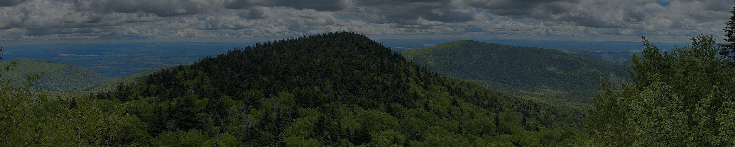
Most people remember the eastern peak for that ledge. The true summit, at 3,650 feet, sits to the west, with a wide view of its own back toward Sugarloaf and Pecoy Notch.

From the east, you reach Twin by climbing out of Jimmy Dolan Notch, the low point between Twin and Indian Head. There's an overlook at the notch, which makes a good rest stop before the last climb. From the west, you come up out of Pecoy Notch, the low point between Twin and Sugarloaf.

Ways to Get There
Prediger Road trailhead (east)
6.1 mi round trip · 1,850 ft gain · strenuous
About 10 minutes / 6 miles from the shop via Bloomer Road and Platte Clove Road. This is the same trailhead as Indian Head. Follow the Devil's Path to the Jimmy Dolan Notch Trail, climb to the notch, then head west on the Devil's Path to both summits.
Get Directions → · View on AllTrails →
Roaring Kill parking area (west)
About 10 minutes / 5 miles from the shop, the same lot as Sugarloaf. Take the Pecoy Notch Trail up past Dibble's Quarry to Pecoy Notch, then head east on the Devil's Path to Twin. Want both peaks? Twin and Sugarloaf together from here run about 7.4 miles, with about 3,000 feet of climbing.
Get Directions → · View on AllTrails →
What to Expect
It's a hard hike from either side. The climbs out of both notches are short but steep, and the footing is rocky the whole way. Plan on three to five hours depending on your pace, and bring more water and layers than you think you need.

From the shop


When to Go
Best May through October. The steep, shaded notch climbs can stay icy and muddy into spring, and the ice comes back early in the fall. Traction helps in those seasons.
Good to Know
- No day-use fee. This is state Forest Preserve land.
- Cell service is unreliable to nonexistent. Download your map before you go.
- Short on time? You can turn around at the eastern ledge and skip the true summit.
- This is black bear country. Don't leave food or a pack unattended.
- Apps like AllTrails are a fine starting point, but the track isn't always exact. We carry the NY-NJ Trail Conference Catskill Trails Map · $17.95, the more precise reference for the whole ridge. Stop in and we'll help you find your route on it.
While you're out here
The six Devil's Path peaks, east to west: Indian Head, Twin, Sugarloaf, Plateau, Hunter, West Kill.
If you want to know what else is worth seeing while you're up here, or want to talk through what to bring before you go, stop into the shop. We're a few miles down the road in Tannersville.