



Plateau Mountain
At a Glance
- Elevation: 3,835 ft
- Trail: Devil's Path, from Route 214 or Roaring Kill
- Fee: none, state Forest Preserve land
- Cell service: unreliable to none
What You're Actually Going to See
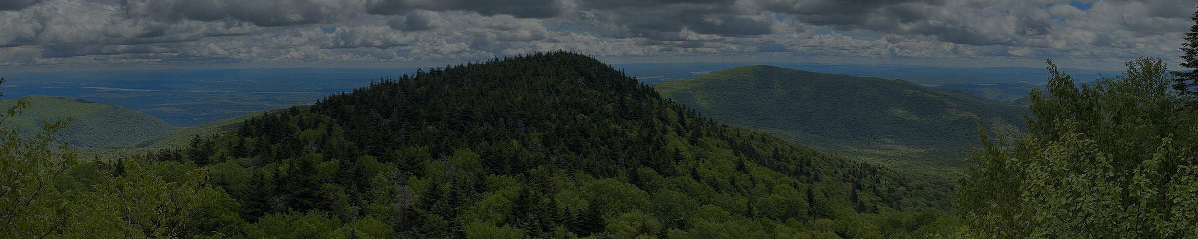
The ridge is covered in old-growth red spruce and balsam fir. Most of the Catskills were logged at some point, so a stand like this is rare. Hikers often say there's no other spot in the range quite like it. The high point, at 3,835 feet, is near the eastern end of the ridge.

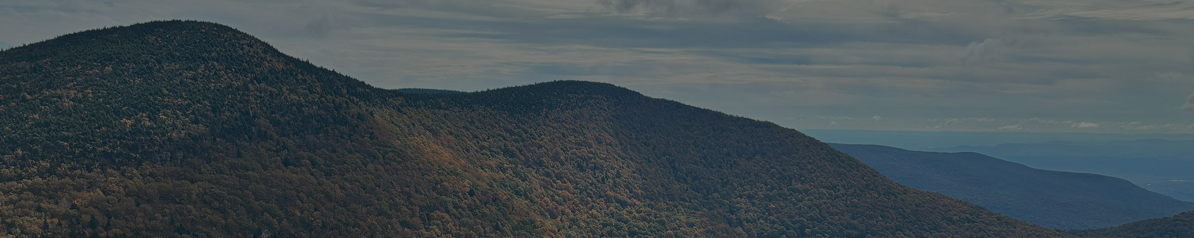
Plateau sits across Stony Clove Notch from Hunter Mountain. To the east, it drops to Mink Hollow Notch, the low point between Plateau and Sugarloaf.
Ways to Get There
Devil's Tombstone / Notch Lake, on Route 214 (west)
6.3–6.6 mi round trip to the high point · 2,000–2,300 ft gain · strenuous
About 7 minutes / 5.5 miles from the shop, at the same trailhead as the Devil's Path route up Hunter. The trail climbs steeply out of the notch to the ridge. From there it's about 1.9 miles along the ridge to the high point. You can turn around wherever you like, since the ridge itself is the reason to go.
Get Directions → · View on AllTrails →
Roaring Kill parking area (east)
6.3 mi round trip · 2,500 ft gain · strenuous
About 10 minutes / 5 miles from the shop, the same lot as Sugarloaf and Twin. Take the Roaring Kill Trail and the Mink Hollow Trail to Mink Hollow Notch, then climb west on the Devil's Path to the high point. It's a little shorter than the Route 214 side, with more climbing.

What to Expect
The climb from either side is steep and sustained. Once you're on the ridge, the walking gets much gentler, but it's still rooty, and it gets muddy because the water has nowhere to drain.

From the shop


When to Go
Best May through October. The flat ridge holds water, so expect mud in spring and after rain. It's cooler up there than in town, so bring a layer even in summer.
Good to Know
- No day-use fee. This is state Forest Preserve land.
- Cell service is unreliable to nonexistent. Download your map before you go.
- The whole ridge is above 3,500 feet. State rules ban camping up here from March 21 to December 21, and only emergency fires are allowed at any time of year.
- This is black bear country. Don't leave food or a pack unattended.
- Apps like AllTrails are a fine starting point, but the track isn't always exact. We carry the NY-NJ Trail Conference Catskill Trails Map · $17.95, the more precise reference for the whole ridge. Stop in and we'll help you find your route on it.
While you're out here
Devil's Tombstone State Campground is right at the Route 214 trailhead if you want to camp before or after.
The six Devil's Path peaks, east to west: Indian Head, Twin, Sugarloaf, Plateau, Hunter, West Kill.
If you want to know what else is worth seeing while you're up here, or want to talk through what to bring before you go, stop into the shop. We're a few miles down the road in Tannersville.