



Huckleberry Point
At a Glance
- Area: Kaaterskill Wild Forest
- Day-use fee: None
- Cell service: Spotty. Download your trail map before you go.
What You're Actually Going to See
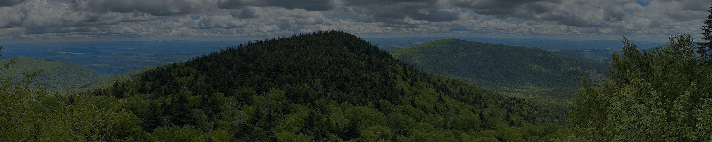
The view is the whole point, and it's a good one. Huckleberry Point sits on a rocky ledge facing east, looking out over the Hudson Valley the same direction as Artist's Rock at North-South Lake, but you're higher up and further into the range, so it feels earned in a way the escarpment hikes don't. On a clear day the valley opens up below you and the Hudson sits out in the distance.
Getting there is a real hike. The trail climbs out of Platte Clove through pine stands and across a few streams, with some short, steep pitches that get your heart going. After rain the streams run higher and the low spots turn to mud, so give yourself extra time and watch your footing.
Platte Clove, the steep gorge the road is named for, was a haunt of the Hudson River School painters in the 1800s, drawn to its waterfalls and the wild drama of the place. You're climbing through painted country.

Ways to Get There
From the Steenburg Road parking area on Platte Clove Road
4.6 mi round trip · moderate to hard · 2.5–3 hr
From Route 23A in Tannersville, take South Main Street, stay left onto Spruce (which becomes Platte Clove Road), stay left again on Platte Clove Road at about 1.5 miles, then continue another 5.2 miles. The trailhead and parking are on the left, just past a small bridge with guardrails. From the lot, follow the blue blazes at the start, then turn onto the yellow trail that runs out to the ledge.
Get Directions → · View on AllTrails →
Heads up: the steep stretch of Platte Clove Road below the trailhead closes from November 15 to April 15, so the Woodstock-side approach is out in winter. Coming up from Tannersville, the road to the trailhead lot stays open year-round.
Two more things about this lot. Don't count on your phone out here, service is patchy at best, so download your map before you leave the car. And park legally. If you squeeze in where you shouldn't and get towed, you're facing a long walk to the Town Hall to sort it out, with no cell signal to call for a ride.
What to Expect
This is rockier and steeper than it looks on a map, and muddy in the low spots after rain, so footing is the thing to get right. We like the Oboz Sawtooth X Mid here, a waterproof mid that grips the rocky pitches and shrugs off the muddy stream crossings. The climb is steady enough that poles earn their keep going up and save your knees coming down, the Black Diamond Trail Cork is what we'd hand you.
This is tick country, and the shaded, buggy stream sections are exactly where you'd pick one up. We keep Ben's Tick Repellent at the counter for a reason. Spray down before you start.
From the shop


When to Go
Go early. The lot is small and fills fast on weekends in season, and an early start also means cooler climbing and the ledge to yourself. Summer mornings are the best of it.
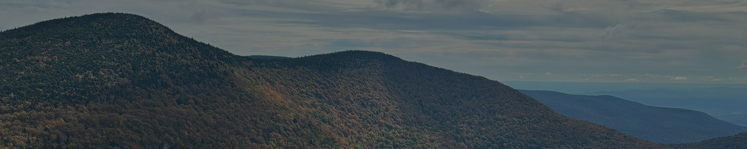
Fall color here is excellent, the east-facing ledge catches the valley spread out below, but foliage weekends are the busiest this trail gets, so an early start matters even more. Skip holidays and peak-foliage Saturdays if you can. In winter, come from the Tannersville side, the clove road below the trailhead closes November 15 to April 15.
Good to Know
- The trailhead lot holds about a dozen cars and fills fast on weekends in season. Have a backup plan or come early.
- This is black bear country. Don't leave food or a pack unattended on the rocks.
- Streams can run high and the trail gets muddy after rain. Waterproof footing helps.
- Dog-friendly for strong, capable hiking dogs. This isn't the hike for a dog that tires on rock and distance.
- This is real backcountry, not a stroll, so we'd point you to a physical map, not just a phone screen. AllTrails is a great tool for finding a route, but the track isn't always precise, even on popular trails. We carry the NY-NJ Trail Conference Catskill Trails Map (printed on Tyvek, waterproof and tear-resistant) — stop in and we'll help you find your route on it.
- It's wrong for anyone after a quiet walk in the woods or an easy stroll. It's a climb to a view, and that's the deal.
While you're out here
Plattekill Falls is a few minutes down the road, on the grounds of the Platte Clove Preserve (administered by the Catskill Center). It's a short walk to a pretty falls and an easy add-on to a Huckleberry Point morning.

The trail also runs along the Long Path, the long-distance route that threads this whole stretch of the Catskills.
If you want to know what else is worth seeing while you're up here, or want to talk through what to bring before you go, stop into the shop. We're a few miles down the road in Tannersville.