


West Hudson Trails Map - NYNJTC
- Worldwide shipping available
Books & MapsWest Hudson Trails Map - 2019 - 8th edition
Two-map set, map #s 113 & 114
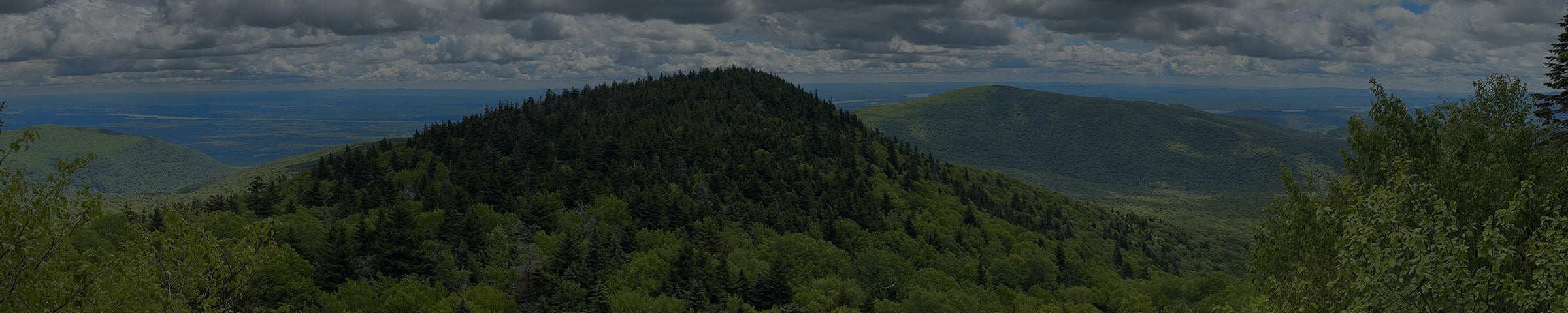
Our West Hudson Trails Map is a two-map set featuring trails in parklands west of the Hudson River in the Hudson Highlands of Orange County, New York. The maps are printed in vibrant color on waterproof and tear-resistant Tyvek, and are a must-have for exploring these parklands in Orange County west of the Hudson River. The 2019 update includes multiple new trails, adjustments to scenic viewpoints, newly-preserved lands, and the latest trail relocations.
Map features include:
- Nearly 70 miles of marked trails in Orange County, New York
- Parklands including Black Rock Forest, Schunemunk State Park, and Storm King State Park
- More than 10 miles of the Long Path and nearly 25 miles of the Highlands Trail
- Detailed junction-to-junction trail mileage numbers
- 20-foot elevation contours
- 1:20,000 scale (1 inch = 0.32 mile)
- Convenient map sizes to carry and use on the trail
- Inset map showing a portion of Orange County's Heritage Trail
- Parkland boundaries
- Unmaintained trails and woods roads
- Viewpoints, mines, springs, and other points of interest
- Parking areas and bus stop locations
- Trail descriptions, park contact information, history, and regulations
- UTM coordinate grid
Our updated West Hudson Trails Map is also available on Apple and Android mobile devices through the Avenza Maps app, including as a Bundle of the 2 maps. To get the latest maps, see the links above (to the right of the cover graphic); also, to help ensure the Trail Conference receives as much of your support as possible, please consider making your purchase directly from that linked page rather than within the app itself. Learn more about the app here.
Trail Conference maps are built on more than 85 years of mapping experience. They are the trusted source for reliable trail information in the New York-New Jersey metropolitan region. These maps are "Made By the People Who Build the Trails" and are regularly updated with changes to the trails.