



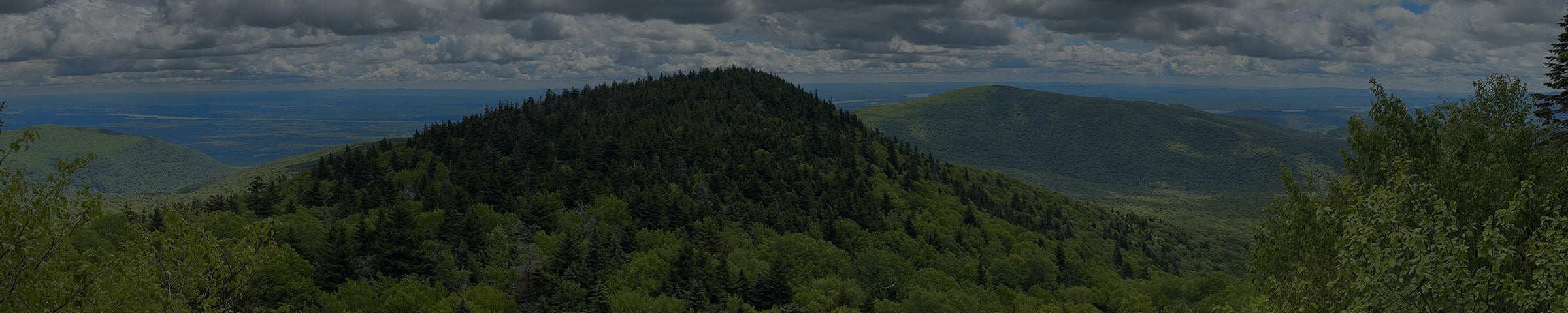
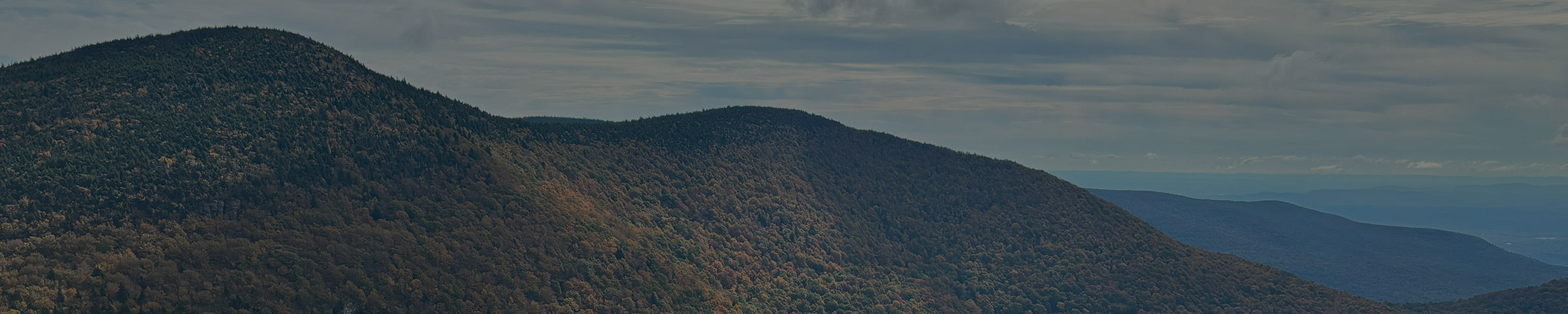

In October of 2023 I spent a day in the woods with a few other people from the Hunter Area Trail Committee, bushwhacking around trying to work out where a trail should go. No path, no markers, just walking and looking and arguing pleasantly about grades. I wrote a short post about it at the time and ended it with "stay tuned," which is what you write when you have no idea whether something will take one year or ten.
On Monday morning I walked that same route with a group of people, on what's starting to feel like an actual trail.
Eighteen of us showed up, mostly community members who'd heard about it one way or another. Sunny and warm, not the kind of heat that makes you regret leaving the car, and the light came down through the trees in that dappled way that makes a woods trail look like it's doing it on purpose.
Underfoot most of the route is a woods trail, not the packed rail-grade width of the Huckleberry or the Kaaterskill. Roots, moss, a few rocks to step around. Nothing too technical, just real ground instead of a graded surface. Walking it as an actual trail instead of picking a line through the underbrush, three years after the day we did exactly that, was the whole point of showing up.

What the Hunter Regional Trails actually are

If you've driven through Haines Falls, Tannersville or Hunter and noticed a flat, oddly straight corridor running through the trees, that's a railroad grade. The Ulster and Delaware Railroad came through here in the late nineteenth and early twentieth centuries, carrying a remarkable number of tourists up to the grand mountain hotels. Those hotels are gone. The rails and ties are mostly gone too. What's left is the grade, which turns out to be close to a perfect walking surface: level, wide, and laid out by people who cared a great deal about not making a locomotive climb.
Strung together, the Hunter Regional Trails cover roughly nine miles, from the Kaaterskill Falls side in Haines Falls west to Dolan's Lake at the base of Hunter Mountain.
That number is approximate, though, because it describes a system rather than a single walk.

The Kaaterskill Rail Trail runs about a mile and a half through the Kaaterskill Wild Forest, with a trailhead near the Mountain Top Historical Society and plenty of parking. Creek views, a few bridges. Its eastern end puts you at the Laurel House lot near the observation platform for Kaaterskill Falls, which makes it the easiest way to pair a mostly flat walk with the most photographed thing in the Catskills.

The Cortina Connector is the piece we were looking for in the woods in 2023. When open, this will connect the KRT with the Huckleberry Rail Trail (and the Village of Tannersville by extension). About a mile and a quarter of it is trail through the woods. It mostly veers off the railroad grade on its way over to Cortina Mountain Estates dirt road, to make the connection with the Huckleberry Rail Trail at Clum Hill.

The Huckleberry Rail Trail runs roughly 2.7 miles between Cortina Valley on the east and Bloomer Road on the west. This is the trail that strollers and wheelchairs can handle. Flat, well kept, forest the whole way, and short enough that a small child can walk the whole thing and feel like they've done something (if you can keep them from stopping at the playground).

The Hunter Branch Rail Trail opened in April 2023, with the dedication of Luke's Bridge, named for Luke Patterson. It runs from Clove Road off Route 214 in Hunter, west through the woods and alongside Ski Bowl Road, out to Evergreen Mountain Contracting on Ski Bowl Rd. You'll see Dolan's Lake given as its western end, including in my own older writing here. That's the goal rather than the current state: past Evergreen you're walking a road posted at 55 in places, so you may want to treat Evergreen as the end of the line for now.
Those mileages are approximate on purpose. The sections don't all have tidy beginnings and endings, and anyone who tells you the exact length of this system is rounding something.
The honest part: it isn't nine continuous miles of trail
There are road walks between the sections. Some are short. The gap between the west end of the Huckleberry and the Hunter Branch is not short, and I wouldn't send anyone off to link the two on foot expecting a pleasant afternoon.
We'd like to close that gap through the woods eventually. Doing it means a creek crossing, which means a bridge, which means real money and a lot of work. That's the honest state of it. Someday.
So treat this as four good walks that are gradually becoming one, rather than a through route. Great for an easy trail run too. Pick a section, park at it, walk or run it, and come back for another one.
Why the Connector isn't officially open
It isn't, and a nice group walk shouldn't imply otherwise.
Two things still have to happen. There need to be more sidewalks, and there needs to be some kind of crossing over Route 23A at Peace Village. 23A is not a road you send families across on faith. Until that crossing exists, calling the Connector open would be putting a ribbon on something unfinished, and the people who've worked on this for years would rather wait and do it properly.
That's the funny thing about trail building that nobody warns you about. The woods are usually the easy part. It's the road crossings and the sidewalks and the easements that take the years.
The piece of this I can't stop thinking about
The Hunter Branch Rail Trail passes through what was once Camp Jened.
There's a state historical marker at the western end of the trail, and it doesn't undersell it:
CAMP JENED
Former site of Camp Jened from which grew the disability rights movement, the fight for justice for all disabled people.
Camp Jened, 1953 to 1977

If the name doesn't land immediately, Jened was a summer camp for disabled teenagers, and what happened there fed directly into the American disability rights movement and eventually the Americans with Disabilities Act. It's the subject of the documentary Crip Camp, which is worth two hours of your evening and is on Netflix and Youtube as of this writing. All of it happened here, in Hunter, a few minutes from where I'm writing this. The site is Evergreen Mountain Contracting now.
Funding is in place to start bringing the Hunter Branch up to full ADA compliance, and the ambition is bigger than compliance. The goal is to make it a real example of what an accessible trail can be, on the ground where future leaders of the disability rights movement first met as campers. Of all the reasons to build a trail, that one is hard to beat.
If you want to go
Four of the five sections are open and walkable right now: the Kaaterskill Rail Trail, both halves of the Huckleberry (east and west), and the Hunter Branch out to Evergreen Mountain Contracting. Huckleberry West is my favorite for an easy walk with a stream running alongside it. The Cortina Connector is the one still waiting on that Route 23A crossing, not open yet but close enough to be worth watching.
The system is on AllTrails as a list of the Hunter Regional Trails, and the Town of Hunter keeps the official project page at townofhunterny.gov/hunter-regional-trails, where HATC will post updates as the Connector, the ADA work, and everything else move forward, so it's worth bookmarking now rather than just clicking through once.
If you're not sure which section's right for the day you have planned, stop in and ask. It's a five minute conversation, and I'd rather you end up on the right piece of trail than the popular one.
Get Directions to Camp Catskill →
-- Ryan Penny, Camp Catskill


