



Indian Head Mountain
At a Glance
- Elevation: 3,573 ft — 30th-highest Catskill peak, easternmost summit on the Devil's Path
- Trail: eastern end of the Devil's Path
- Fee: none, state Forest Preserve land
- Cell service: unreliable to none
What You're Actually Going to See
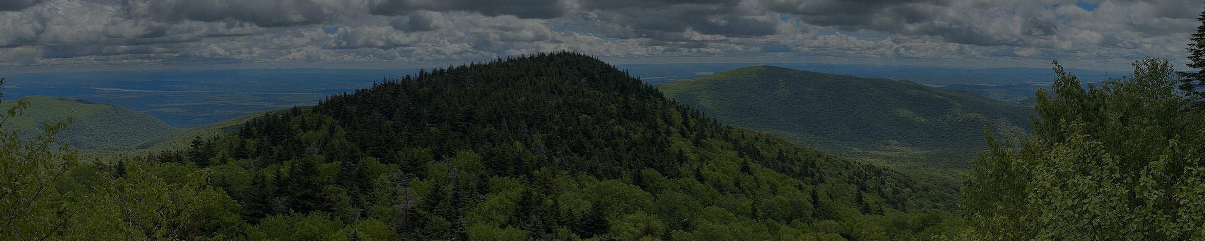
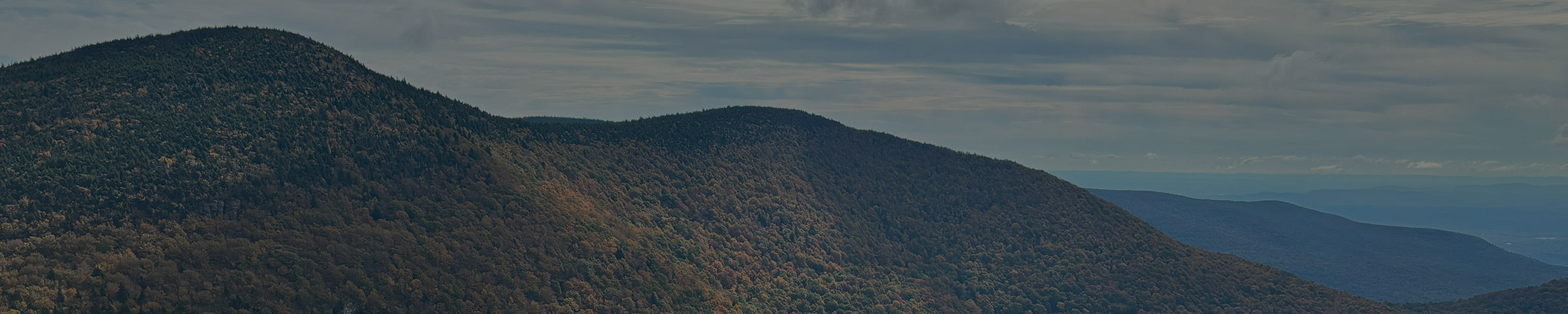
Indian Head is the easternmost peak on the Devil's Path, reached from the Prediger Road trailhead. The name comes from the mountain's profile — seen from the right angle in the Hudson Valley, the ridgeline reads as a face in silhouette, which is where a lot of Catskill peaks with people-shaped names come from.
The summit itself is mostly wooded and viewless, but the approach isn't: Sherman's Lookout, along the way up, opens to over 180 degrees of the Catskills, and other points along the route look out toward Kaaterskill High Peak, the Hudson River, and Echo Lake. The trail up is a real mix — some easy walking, some steep scrambling over rock and roots that ranges from casual to genuinely hands-on, especially in the last push to the ridge.

Indian Head sits between Plattekill Mountain to the southeast and Twin Mountain to the northwest, separated from Twin by Jimmy Dolan Notch — the low point between the two, and the connector if you're doing both peaks in one day. Twin Mountain is the natural next stop.
Ways to Get There
Prediger Road (east) — the standard approach
3.6 mi one-way (6.2 mi loop) · 1,850 ft gain · moderately strenuous to very challenging
About 10 minutes / 6 miles from the shop via Bloomer Road and Platte Clove Road. This is the eastern trailhead for the entire Devil's Path, and the most direct way up Indian Head: roughly 3.6 miles one-way via the red-blazed Devil's Path, climbing about 1,850 feet. One quirk worth knowing: the Devil's Path doesn't head straight for Indian Head from this trailhead — it actually runs out toward the Overlook Trail junction first, then curves back west toward the summit. Because of that dogleg, most people skip the straight out-and-back and just hike the loop instead — about 6.2 miles round trip.
Get Directions → · View on AllTrails →
Platte Clove Preserve (north) — the alternative approach
Starts on the aqua-blazed Long Path at the Catskill Center's Platte Clove Preserve, about a mile in to the junction where the Overlook Trail and the Devil's Path meet (the Devil's Kitchen Lean-to sits just off this junction, a short side trip). From there, the Devil's Path splits west toward Indian Head. Mostly worth knowing about if you're already planning a Platte Clove Preserve visit.
What to Expect
This isn't a casual walk — the "very challenging" end of most difficulty ratings is earned, mostly in the scrambling near the top. Expect real hand-and-foot climbing over rock in spots, not just a steep dirt trail. The payoff views come along the way, not at the summit itself, so don't expect a big reveal at the top.
From the shop


When to Go
Best May through October. Some sections hold wet leaves and mud into early summer given the elevation and shade, and the scrambles get meaningfully harder wet or icy — this is not a good early-spring or late-fall ice-season hike unless you're equipped for it, with aggressive crampons like the Hillsound Trail Crampon.
Good to Know
- No day-use fee — state Forest Preserve land.
- Cell service is unreliable to nonexistent. Download your map before you go.
- The scrambling sections mean this is a poor choice for a first-time hiker or anyone uncomfortable using their hands to climb.
- Apps like AllTrails are a fine starting point but the track isn't always exact. We carry the NY-NJ Trail Conference Catskill Trails Map · $17.95, the more precise reference for the whole ridge. Stop in and we'll help you find your route on it.
While you're out here
Indian Head is the eastern gateway to the Devil's Path, the six-peak ridge it sits on. Twin Mountain is the very next peak west across Jimmy Dolan Notch, and a lot of people do both in one day.
If you want to know what else is worth seeing while you're up here, or want to talk through what to bring before you go, stop into the shop. We're a few miles down the road in Tannersville.