




Giant Ledge
At a Glance
- Area: Slide Mountain Wilderness, south of Phoenicia
- Day-use fee: None
- Cell service: Spotty at the trailhead, usually better up on the ledges.
- Parking: A small DEC lot that fills early on weekends
What You're Actually Going to See
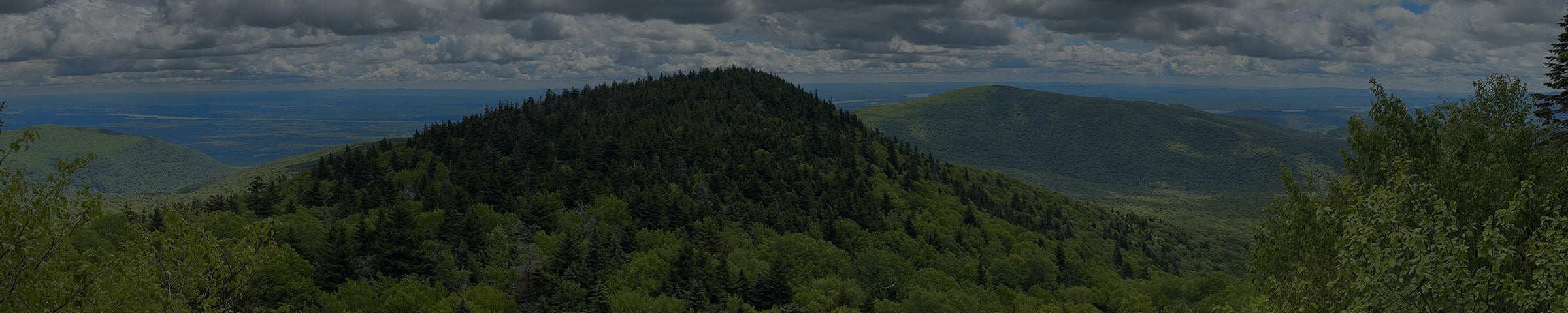
Giant Ledge is a string of open rock ledges along a ridge in the Slide Mountain Wilderness. They look east over Woodland Valley, and north toward the peaks of the Devil's Path. There are several separate lookouts in a row, so if the first one is crowded, keep walking.
Because the ledges face east, this is a sunrise hike. People hike up in the dark with a headlamp to catch it.

Ways to Get There
From Oliverea Road (the Giant Ledge trailhead)
3.2 miles round trip · about 1,100 ft of climbing · 2-3 hrs
From the shop, take 214 south through Stony Clove Notch to Phoenicia, then Route 28 west to Big Indian. Turn left onto Oliverea Road and go about 7.5 miles. The DEC lot is on the right, just before a sharp hairpin turn. About 40 minutes from Tannersville.
The trail starts on yellow markers (the Phoenicia-East Branch Trail) and climbs to a junction, then turns left onto blue markers (the Giant Ledge-Panther Mountain-Fox Hollow Trail) up to the ledges.
Get Directions → · View on AllTrails →

Keep going to Panther Mountain
About 6.5 to 7 miles round trip · 3,724 ft summit
The same blue trail continues along the ridge past the ledges to the top of Panther Mountain, one of the Catskill 3500 Club peaks. It adds real climbing and turns a morning hike into most of a day. The AllTrails link above is the full route to Panther; turn around at the ledges if that's all you want.

What to Expect
Short does not mean easy. You climb about 1,100 feet in 1.6 miles, on a rocky trail that can be muddy in the lower section. The ledges are real cliff edges with long drops. Keep kids and dogs close, and watch your footing when the rock is wet.
From the shop

Black Diamond Astro 300-R
Rechargeable headlamp · $44.95

Black Diamond Trail Back
Trekking poles · $99.95
A headlamp for the sunrise start, and poles for the steep, rocky way back down.
When to Go
Spring through fall, and early. The lot is small and fills fast on weekends, especially in foliage season. Sunrise solves both problems at once. In winter the trail ices up, so bring traction.
Good to Know
- No fee. State Forest Preserve land.
- The parking lot is small, and you can't park along the road once it's full. Get there early on weekends or come on a weekday.
- Real cliff edges at every ledge.
- There are a couple of marked campsites back in the woods near the ledges. If you camp, use those, not the ledges themselves.
- Dog-friendly on leash.
- This is black bear country. Don't leave food or a pack unattended.
- Apps like AllTrails are a fine starting point, but the track isn't always exact. We carry the NY-NJ Trail Conference Catskill Trails Map ($17.95, printed on Tyvek), and we're happy to help you find your route on it.
While you're out here
On a clear day you can see the Devil's Path to the north.
If you want to know what else is worth seeing while you're up here, or want to talk through what to bring before you go, stop into the shop. We're on Main Street in Tannersville.